


Parkeagle
On-street parking space is scarce, and more and more bays serve a specific purpose. Parkeagle in-ground sensors from Abel Sensors give you real-time insight into occupancy and parking duration for every individual bay. Installed invisibly in the road surface and connected wirelessly, they turn policy goals into measurable data. Enforcement can be targeted, and decisions are based on actual usage.
The ParkEagle sensor
Parkeagle is a very small wireless in-ground sensor that can detect the presence and flow of vehicles. Discreet, durable and easy to install, it operates independently of cameras making it the ideal solution where privacy, infrastructure or line of sights are a concern. Our inhouse implementation features a 10+ years lifetime.

Individual spot monitoring
Our ground sensors combine magnetic and radar detection for accurate, spot-level occupancy data. Communicating via LoRaWAN, each sensor integrates seamlessly with the Abel Cloud platform, delivering real-time availability without complex wiring. Especially suited for larger facilities where individual spot monitoring is required but extensive cabling is not an option.
Beyond basic occupancy, spot-level data unlocks additional value. Combined with parking duration data, our sensors support blue zone enforcement and loading and unloading monitoring. Integration with charging data enables real-time EV bay occupancy insights, ensuring charging spots are used efficiently and made available when needed.
- Dual magnetic and radar detection
- Wireless LoRaWAN communication
- Spot-level occupancy and duration data
- Blue zone, EV, and loading zone monitoring


Entrance & Exit counting
Our entry and exit sensors provide reliable vehicle counts to determine total facility occupancy per zone or level. Cost-effective and easy to install, they feed real-time data directly into dynamic route information systems, ensuring roadside displays always reflect actual availability. Best suited for larger facilities where spot-level detection is not required.
- Zone or level occupancy via counting
- Direct integration with route information systems
- Cost-effective and easy to install
- Periodic calibration needed for facilities that rarely empty
PRIS solutions
Our parking route information systems guide drivers to the right facility before they arrive, displaying real-time availability along all approach routes. Integrating seamlessly with our own detection systems as well as external open data sources, every display always reflects actual availability. All content and configurations are managed centrally via the Abel Cloud platform.
- Real-time availability on approach routes
- Integration with our own and external data sources
- Centrally managed via Abel Cloud
- Reduces search traffic before arrival

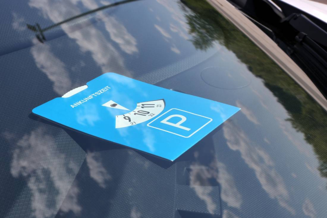
Blue zones, short parking
Our Parkeagle in-ground sensors record occupancy and parking duration for each individual bay. Enforcement officers can see immediately where the maximum parking time is exceeded, instead of patrolling at random to check parking discs. The collected data also shows whether the blue zone regime delivers the intended turnover.
- Real-time alerts when maximum parking duration is exceeded
- Targeted and efficient deployment of enforcement
- Insight into turnover rates and occupancy levels
- Does not fully replace parking disc checks
Loading and unloading
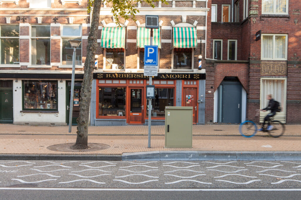
In-ground sensors detect per bay when vehicles stay longer than permitted or park outside delivery windows. This allows misuse to be addressed directly and keeps bays available for delivery vehicles. Peak demand becomes visible, providing a solid basis for adjusting delivery windows and locations.
- Detection of overstays and parking outside delivery windows
- Less double parking thanks to better bay availability
- Data to optimise delivery windows and locations
- Does not distinguish delivery vehicles from other vehicles
Disabled parking bays
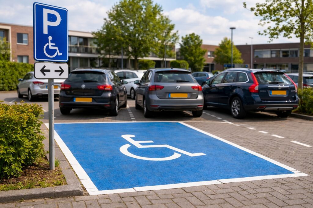
Our sensors show in real time which general disabled parking bays are available. Drivers with a disability can be guided straight to a free bay via an app or navigation system. Municipalities gain insight into actual usage and can align the location and number of bays accordingly.
- Real-time availability for drivers with a disability
- Insight into usage per location
- Supports decisions on relocating or adding bays
- Verifying authorised use requires additional permit or licence plate checks
EV charging
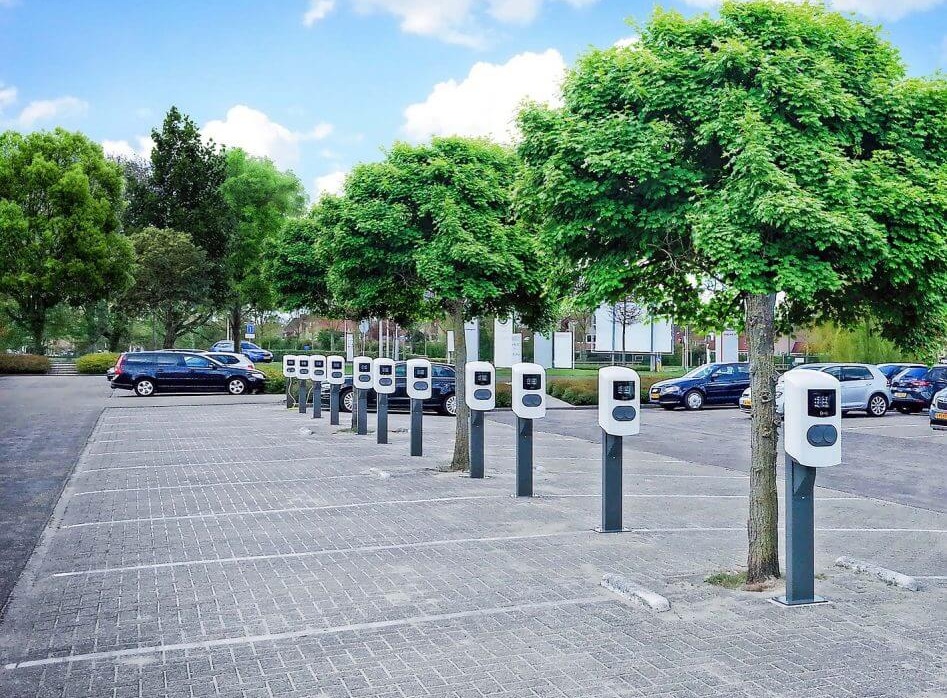
Combined with session data from the charge point, our sensors show whether an occupied bay is actually being used for charging. This flags vehicles that overstay after charging, as well as non-charging vehicles. The occupancy data also provides a reliable basis for the further rollout of charging infrastructure.
- Distinguishes between occupied and actively charging
- Flags overstaying and non-charging vehicles
- Supports planning for charge point expansion
- Full value requires integration with charge point data
Want to know more?
Do you have any questions about our Smart Parking systems, or would you like some advice?
Our team is on hand to answer your questions.